
Whitefield Main Road · 07:42 AM
Construction
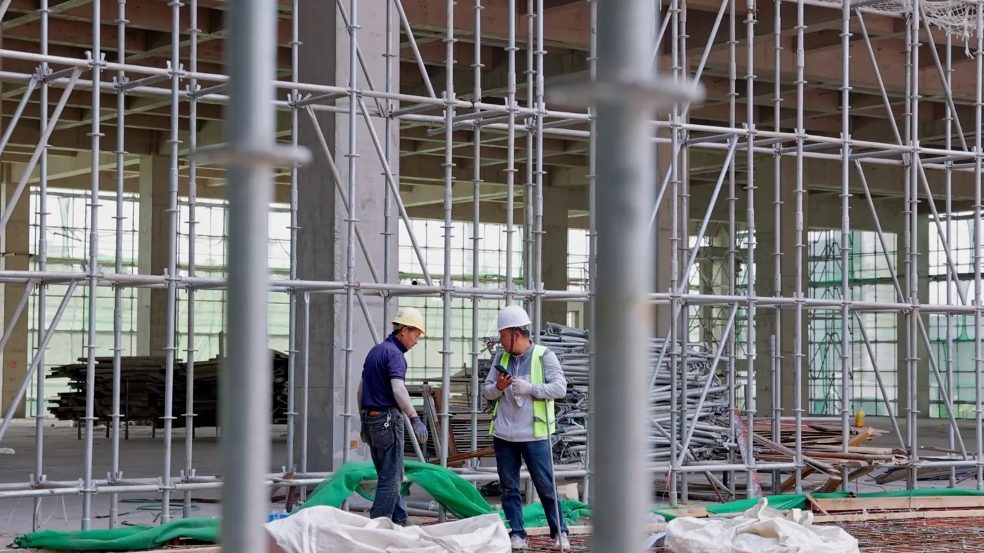
Daily progress, snag lists and handovers with proof of where and when.
GPS fix acquired · Photo proof for field teams
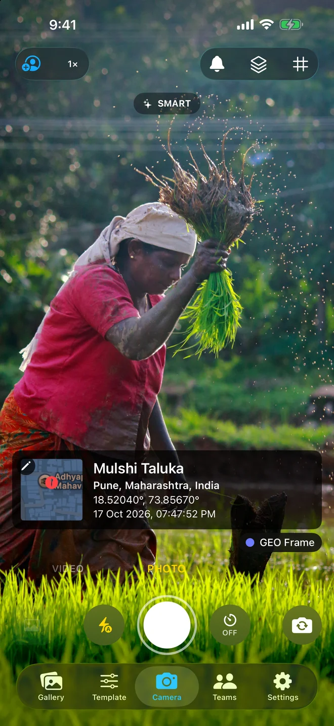
GPS Map Camera stamps every photo with coordinates, address, a live map, date and time — so clients, managers and inspectors can see exactly where and when it was taken.


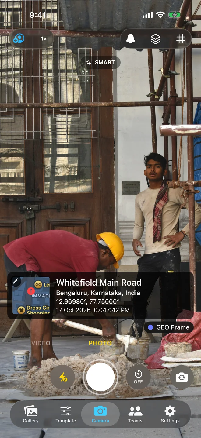
Whitefield Main Road
Bengaluru, Karnataka, India
12.96980°, 77.75000°
17 Oct 2026, 07:47:42 pm
GPS
Live
Why it matters
Drag the slider. Same photo — one is just a picture, the other is evidence.
Stays on the image
WhatsApp and email strip hidden photo data. A stamp can't be stripped.
Readable by anyone
Clients and inspectors see the place and time without any special software.
Map included
A real map tile shows the exact spot, not just numbers.
Plain photoWhitefield Main Road
Bengaluru, Karnataka, India
12.96980°, 77.75000°
17 Oct 2026, 07:47:42 AM
Features
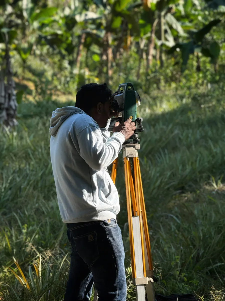
Whitefield Main Road
Bengaluru, Karnataka, India
12.96980°, 77.75000°
17 Oct 2026, 07:47:42 pm
Every shot
Latitude, longitude, full street address, date and time — stamped the moment you shoot.
12.96980°, 77.75000°
A real map tile marks the exact spot, right inside the stamp.
Whitefield Main Road
12.96980°, 77.75000° · 07:42 AM
17 Oct 2026 · 07:42 AM
Bengaluru, Karnataka
12.96980N 77.75000E
17/10/2026 07:42:18
25+ styles
Classic, minimal, text-only and more. Pick what fits your report.
Turn a visit's photos into a clean PDF with map and details — one tap.
Swap the app branding for your company logo with Pro.

Record video with the place and time stamped on screen while you film.
How it works
GPS, address and time lock in the moment the camera opens. No setup and no account — just point and shoot.
Location, a live map, date and time are burned into the photo in the style you chose — so the proof travels with the image.
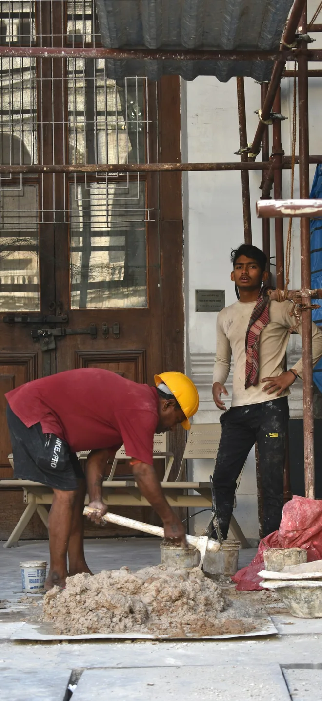
Whitefield Main Road
Bengaluru, Karnataka, India
12.96980°, 77.75000°
17 Oct 2026, 07:47:42 AM
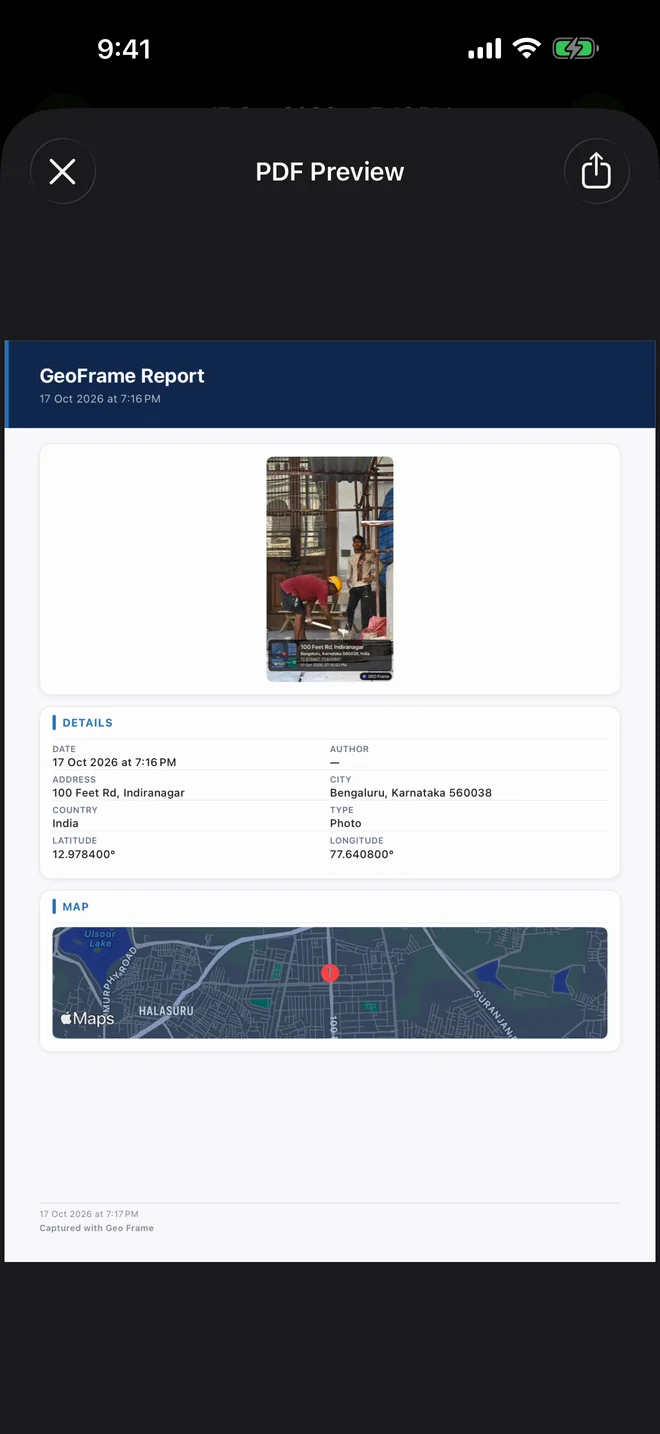
Pick the photos from a visit and export a clean report with map, coordinates and details. One tap, ready for the client.
Capture into shared projects. Everyone's photos land in one place, and managers review them on the web dashboard.
Team Hub
Site Survey Crew Active
4 of 5 seats · Team plan
Projects
Whitefield Tower B
128 photos · synced now
Mulshi farm survey
64 photos · synced now
BKC handover
37 photos · synced now
Members
Alex Morgan
Owner
Priya R.
Site engineer
Vikram K.
Surveyor
Whitefield Main Road
Bengaluru, Karnataka, India
12.96980°, 77.75000°
17 Oct 2026, 07:47:42 AM
Team Hub
Site Survey Crew Active
4 of 5 seats · Team plan
Projects
Whitefield Tower B
128 photos · synced now
Mulshi farm survey
64 photos · synced now
BKC handover
37 photos · synced now
Members
Alex Morgan
Owner
Priya R.
Site engineer
Vikram K.
Surveyor
Use cases
From building sites to rice fields — anywhere someone needs to prove they were there.
Daily progress, snag lists and handovers with proof of where and when.

Crop surveys, subsidy claims and field visits, stamped on the spot.
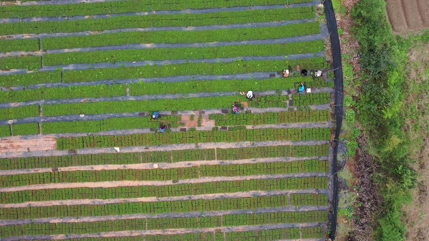
Boundary walks and site visits with coordinates on every frame.
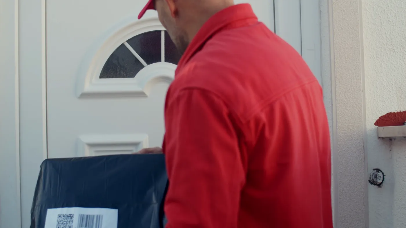
Doorstep photos customers can't argue with.
Checkpoint photos that show the guard was really there.
Client reporting
Send one PDF report instead of forty WhatsApp images — every photo with its map, address and time.
Watch
GeoFrame Teams
Everyone captures into shared projects. Managers review every photo, location and report from the web dashboard — no more chasing pictures on WhatsApp.
Team Hub
Site Survey Crew Active
4 of 5 seats · Team plan
Projects
Whitefield Tower B
128 photos · synced now
Mulshi farm survey
64 photos · synced now
BKC handover
37 photos · synced now
Members
Alex Morgan
Owner
Priya R.
Site engineer
Vikram K.
Surveyor
Just synced
Priya R. added 6 photos
Whitefield Tower B · 2 min ago
4/5
seats in use
Plans
Prices are shown in the app in your local currency.
Try it on site
Most popular
Pay once
For crews
FAQ
Can't find what you need? Contact us from the app or the support page.
Yes. You can download it free and stamp your first 10 photos with GPS, address, map, date and time — no account needed. GeoFrame Pro unlocks unlimited photos, PDF reports, all stamp styles and your own logo. You can also unlock unlimited photos and all stamp styles with a one-time Lifetime purchase. Prices are shown in the app in your local currency.
The app uses your phone's GPS together with network positioning. In open sky it's typically accurate to a few metres; indoors or between tall buildings accuracy drops, and the app waits briefly for a fix before stamping.
Most messaging apps and social networks strip EXIF metadata when you share a photo. A visible stamp stays on the image wherever it goes, so the person receiving it can see where and when it was taken.
Yes. Choose from 25+ layouts, toggle the map, coordinates, address, time and author, and (with Pro) replace the app branding with your company logo.
Yes. GeoFrame Teams lets your crew capture into shared projects, with a web dashboard at gps.appsinfoway.com to review every photo, location and report.
Photos are saved on your device. Nothing is uploaded unless you share a photo, back it up, or add it to a team project. Read the Privacy Policy for the details.
iPhone and iPad (iOS 16 or later) and Android phones. Download it from the App Store or Google Play.

Download free. Your first 10 GPS-stamped photos are on us.